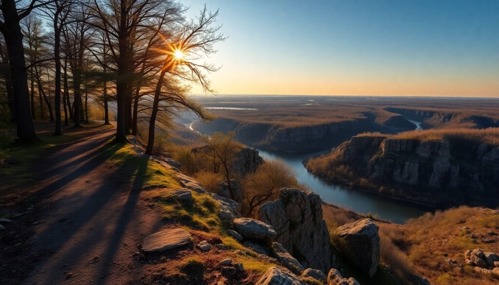
Step onto the tranquil paths of Fort Snelling Pike Island, and you immediately feel the embrace of ancient riverine forest. The air, often cool and damp even on a warm day, carries the scent of rich earth and the distant murmur of two mighty rivers converging. Here, where the Minnesota River flows into the Mississippi, you discover a deeply significant landscape, a natural sanctuary steeped in both ecological richness and profound history, offering a serene escape just minutes from downtown St. Paul.
Trail Specifications
Trail Name: Fort Snelling Pike Island Loop Trail
Location: Fort Snelling State Park, St. Paul, MN
Distance: Approximately 3.2 miles (5.1 km) loop
Elevation Gain: Minimal (less than 50 feet / 15 meters)
Difficulty: Easy
GPS Coordinates: 44.8960° N, 93.1878° W (Island Center)
Best Season: Year-round, but spring and fall offer optimal conditions.
Dog-Friendly: Yes, on leash.
Route Overview & Natural Highlights
Your journey on Pike Island unfolds within a classic floodplain forest ecosystem, a dynamic environment shaped by the ebb and flow of the Mississippi and Minnesota Rivers. The trail, a mix of paved and compacted dirt, winds through dense stands of towering cottonwoods (Populus deltoides), their bark deeply furrowed, and elegant silver maples (Acer saccharinum), whose leaves shimmer in the slightest breeze. You’ll also encounter river birch (Betula nigra) with its distinctive peeling bark and various willow species thriving in the moist soil.
Geologically, Pike Island itself is a relatively young alluvial deposit, formed by thousands of years of sediment carried by the rivers. Across the water, particularly to the south, you can observe the exposed bluffs revealing layers of St. Peter Sandstone, a soft, fine-grained rock, capped by the harder Platteville Formation limestone. These formations speak to ancient seas that once covered this region. The island is a haven for wildlife; keep an eye out for white-tailed deer browsing silently among the trees, and listen for the calls of diverse bird species. Great blue herons often stalk the shallow edges of the rivers, while bald eagles (Haliaeetus leucocephalus) are a frequent sight, soaring overhead or perched in the tallest trees, especially during winter months.
The true highlight, however, is the confluence itself – a site known as Bdote to the Dakota people, holding immense spiritual and historical significance as a place of creation and gathering. Standing at this point, where the waters merge, you gain a profound sense of connection to the land and its enduring story. The views extend across the expansive rivers, offering glimpses of the historic Fort Snelling atop the bluff and, in the distance, the subtle outline of the downtown St. Paul skyline.
Turn-by-Turn Trail Breakdown
Trailhead to Island Crossing
Your adventure begins near the Fort Snelling State Park Visitor Center. From the parking area, follow the signs leading to the pedestrian bridge that spans the Minnesota River. This bridge itself offers excellent views of the river and the surrounding floodplains. Once you cross, you are officially on Pike Island. The path here is wide and well-maintained, guiding you into the heart of the island’s forest. Interpretive signs along this initial stretch provide context on the island’s ecology and history.
Mid-Trail Exploration & River Views
As you continue, the trail forms a clear loop around the island’s perimeter. You’ll primarily follow the banks of either the Minnesota or Mississippi Rivers, depending on which side of the loop you are on. The terrain remains flat and easy, making it ideal for a relaxed pace. Look for smaller side paths that offer closer access to the river’s edge, though be mindful of erosion and potential muddy spots, especially after rain. This section is prime for birdwatching, particularly along the quieter stretches away from the main pedestrian flow. You’ll notice the distinctive sound of the two rivers flowing, one often calmer than the other, before their ultimate merger.
Confluence Point & Return Loop
The apex of your hike is the northernmost point of the island, where the Mississippi and Minnesota Rivers meet. This is the sacred Bdote, a powerful natural landmark. Take time to absorb the view and reflect on the historical weight of this place. After experiencing the confluence, the trail continues its loop, guiding you back along the opposite riverbank towards the pedestrian bridge. The return journey offers new perspectives on the river and forest, completing your peaceful circuit around Fort Snelling Pike Island.
Seasonal Guide & Best Times
- Spring (April – May): Witness the awakening of the floodplain forest. Migratory birds return, filling the air with song. Expect budding trees and potential for muddy sections or even temporary trail closures due to high river levels.
- Summer (June – August): The island is lush and green, offering ample shade from the canopy. It’s a popular time for walking, but be prepared for warmth and humidity. Insect repellent is highly recommended to ward off mosquitoes and ticks.
- Fall (September – October): A truly spectacular season. While cottonwoods and silver maples turn a brilliant yellow, the cooler temperatures and fewer insects make for exceptionally pleasant hiking conditions. The crisp air enhances the river views.
- Winter (November – March): The island transforms into a snowy wonderland, perfect for snowshoeing or cross-country skiing when conditions allow. The leafless trees offer clearer views of the river and a better chance to spot bald eagles. Bundle up, as it can be quite cold and windy near the water.
Essential Gear & Safety
- Hydration: Carry sufficient water, especially during warmer months.
- Footwear: Comfortable walking shoes or light hiking boots are suitable for the generally flat terrain.
- Insect Repellent: Crucial from late spring through fall due to mosquitoes and ticks.
- Layers: Dress in layers, as conditions can change, particularly near the open rivers.
- Navigation: While the loop is clear, a map or a navigation app like AllTrails can enhance your experience and provide peace of mind.
Getting There & Parking
Fort Snelling State Park is conveniently located at the confluence of the Mississippi and Minnesota Rivers, just south of downtown St. Paul and Minneapolis. To reach Pike Island, you will need to enter Fort Snelling State Park. The primary entrance is accessible from MN-5 and Post Road. Follow signs within the park to the Visitor Center and designated parking areas, which are extensive and well-marked.
A Minnesota State Park vehicle permit is required for entry. You can purchase a daily permit for $7 or an annual permit for $35 at the park entrance or Visitor Center. The park generally operates from 8:00 AM to 10:00 PM daily, though specific Visitor Center hours may vary. Always check the official Minnesota DNR website for the most up-to-date information on park hours, fees, and any trail conditions or closures before your visit.
Curated Literature & Minneapolis Downtown Calendar
The Architecture of Focus: Deep Work & Modern Mastery
By Founders Library Press
A structured framework for strategic clarity, productivity, and authentic execution.
Upcoming Downtown Happenings
Live acoustic sessions, gallery receptions, literary salons, and independent trade shows across Minneapolis.